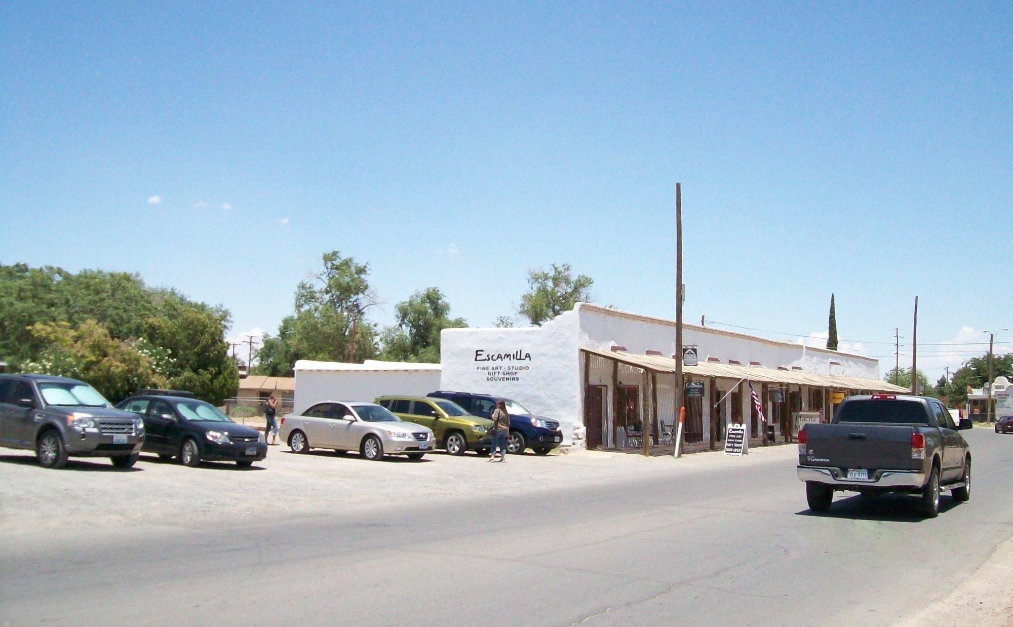
Tornillo, TX
Advertisement
Tornillo, TX Map
Tornillo is a US city in El Paso County in the state of Texas. Located at the longitude and latitude of -106.096000, 31.439400 and situated at an elevation of 1,093 meters. In the 2020 United States Census, Tornillo, TX had a population of 1,432 people. Tornillo is in the Mountain Standard Time timezone at Coordinated Universal Time (UTC) -7. Find directions to Tornillo, TX, browse local businesses, landmarks, get current traffic estimates, road conditions, and more.
Tornillo, Texas, is a small yet noteworthy locale primarily recognized for its significant contributions to the music industry, despite its modest size. The town gained considerable attention with the establishment of the Sonic Ranch, one of the world's largest residential recording studios. Musicians from various genres flock to this serene desert oasis to create and record music in an environment that fosters creativity. The studio complex is set amidst pecan orchards, offering a unique and tranquil setting that appeals to artists seeking inspiration.
Aside from its musical acclaim, Tornillo is also known for its agricultural roots, with vast pecan farms characterizing the landscape. The town's history is steeped in its agricultural beginnings, and this heritage continues to influence its present-day identity. Visitors to Tornillo might find themselves exploring the expanses of farmland or learning about the local history that shaped this tight-knit community. While it may not boast the attractions of larger cities, Tornillo's charm lies in its peaceful atmosphere and its pivotal role in the music world.
Nearby cities include: Fabens, TX, Clint, TX, San Elizario, TX, Agua Dulce, TX, Fort Hancock, TX, Socorro, TX, Horizon City, TX, Homestead Meadows South, TX, Homestead Meadows North, TX.
Places in Tornillo
Can't-miss activities
Culture, natural beauty, and plain old fun.
Places to stay
Hang your (vacation) hat in a place that’s just your style.
Advertisement


