Granite Shoals, TX
Advertisement
Granite Shoals, TX Map
Granite Shoals is a US city in Burnet County in the state of Texas. Located at the longitude and latitude of -98.381700, 30.586900 and situated at an elevation of 268 meters. In the 2020 United States Census, Granite Shoals, TX had a population of 5,129 people. Granite Shoals is in the Central Standard Time timezone at Coordinated Universal Time (UTC) -6. Find directions to Granite Shoals, TX, browse local businesses, landmarks, get current traffic estimates, road conditions, and more.
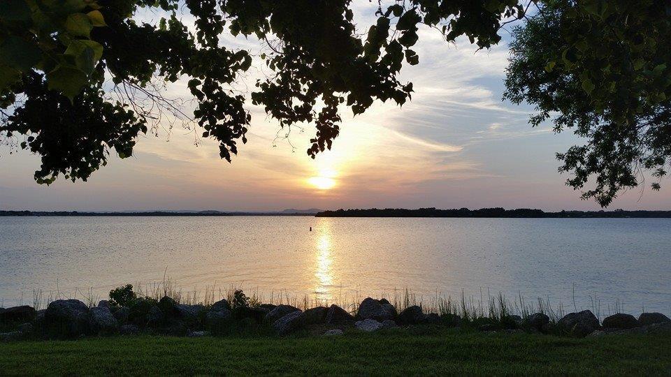
Granite Shoals, Texas, is a charming small city nestled in the scenic Hill Country region, primarily known for its proximity to the beautiful Lake LBJ. This city serves as a gateway to outdoor recreational activities, making it a popular destination for water enthusiasts and nature lovers alike. With numerous parks, such as Bluebriar Park and Crockett Park, visitors can enjoy picnicking, fishing, and boating. The lake's constant water level ensures year-round activities, attracting tourists and residents who appreciate serene lakeside living.
Historically, Granite Shoals was developed in the 1960s as a lakeside resort community, and it has grown into a vibrant city with a laid-back, welcoming atmosphere. The city's name reflects the granite outcrops found in the area, which contribute to its unique landscape. While Granite Shoals may not boast a bustling urban center, its natural beauty and peaceful environment make it an appealing retreat for those looking to escape the hustle and bustle of city life.
Nearby cities include: Highland Haven, TX, Sunrise Beach, TX, Horseshoe Bay, TX, Cottonwood Shores, TX, Marble Falls, TX, Kingsland, TX, Round Mountain, TX, Buchanan Dam, TX, Burnet, TX, Llano, TX.
Places in Granite Shoals
Dine and drink
Eat and drink your way through town.
Can't-miss activities
Culture, natural beauty, and plain old fun.
Places to stay
Hang your (vacation) hat in a place that’s just your style.
Advertisement


