El Reno, OK
Advertisement
El Reno, OK Map
El Reno is a US city in Canadian County in the state of Oklahoma. Located at the longitude and latitude of -97.957500, 35.530278 and situated at an elevation of 414 meters. In the 2020 United States Census, El Reno, OK had a population of 16,989 people. El Reno is in the Central Standard Time timezone at Coordinated Universal Time (UTC) -6. Find directions to El Reno, OK, browse local businesses, landmarks, get current traffic estimates, road conditions, and more.
El Reno, Oklahoma, is a city steeped in rich history and unique cultural significance, known primarily for its annual Fried Onion Burger Day Festival. This event pays homage to the city's culinary claim to fame: the fried onion burger, a local delicacy that has drawn visitors from far and wide. Historically, El Reno played a pivotal role in the expansion of the American West, with Fort Reno serving as a military post during the Indian Wars and later as a remount depot during World Wars I and II. Visitors can explore this history at the Fort Reno Visitor Center, which offers insights into the area's past through exhibits and tours.
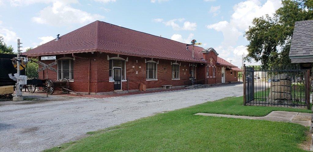
For those interested in transportation history, the Canadian County Historical Museum is a must-see, housed in the old Rock Island Depot and featuring a variety of exhibits, including a display of railroad memorabilia. The city also boasts the historic Centre Theatre, a beautifully restored Art Deco-style venue that hosts a range of performances and events. El Reno's urban landscape is dotted with charming parks and recreational areas, providing ample opportunities for outdoor activities. Overall, El Reno offers a quaint yet intriguing exploration of Oklahoma's cultural and historical tapestry.
Nearby cities include: Union City, OK, Calumet, OK, Yukon, OK, Okarche, OK, Minco, OK, Piedmont, OK, Mustang, OK, Woodlawn Park, OK, Bethany, OK, Tuttle, OK.
Places in El Reno
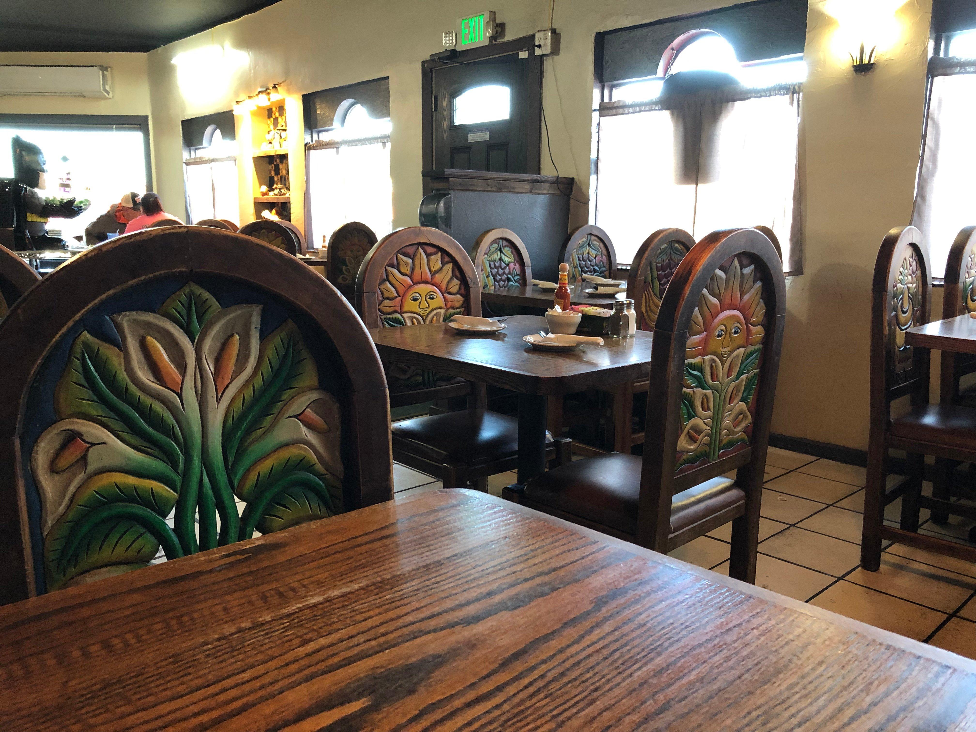
Dine and drink
Eat and drink your way through town.
Can't-miss activities
Culture, natural beauty, and plain old fun.
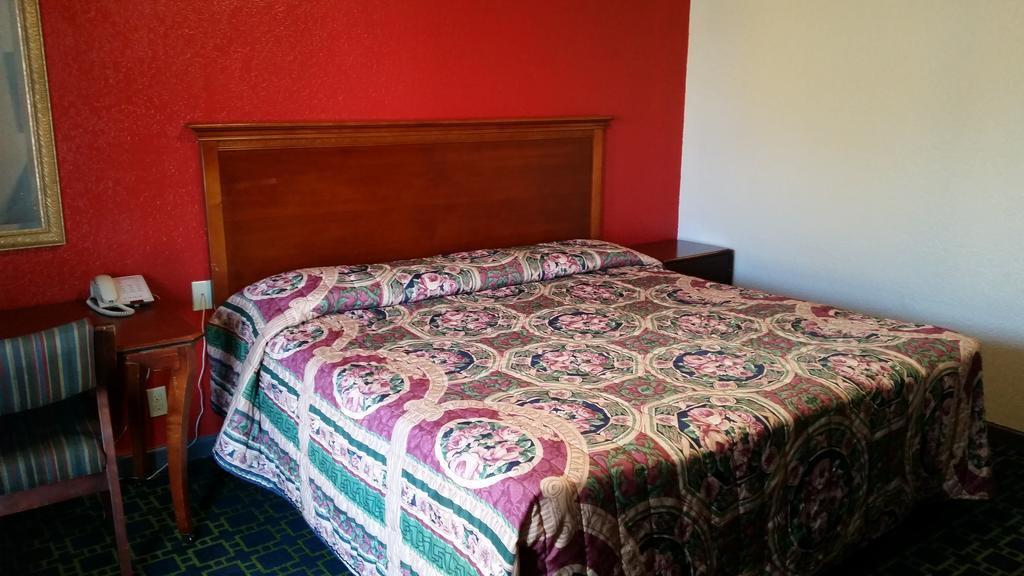
Places to stay
Hang your (vacation) hat in a place that’s just your style.
Advertisement


