Gloucester City, NJ
Advertisement
Gloucester City, NJ Map
Gloucester City is a US city in Camden County in the state of New Jersey. Located at the longitude and latitude of -75.116700, 39.891600 and situated at an elevation of 23 meters. In the 2020 United States Census, Gloucester City, NJ had a population of 11,484 people. Gloucester City is in the Eastern Standard Time timezone at Coordinated Universal Time (UTC) -5. Find directions to Gloucester City, NJ, browse local businesses, landmarks, get current traffic estimates, road conditions, and more.
Gloucester City, New Jersey, is a small city with a rich history and a vibrant community. Known for its strong ties to the Delaware River, the city was founded in 1623 and is one of the oldest settlements in New Jersey. It played a significant role during the colonial era and has maintained its historic charm with several well-preserved buildings and sites. A notable historical site is Proprietor's Park, which offers picturesque views of the river and is a popular spot for locals and visitors alike to enjoy leisurely activities and community events.
Among the attractions in Gloucester City is the Gloucester City Marina, a favorite for boating enthusiasts, providing access to the beautiful Delaware River. The city also boasts a lively downtown area with a selection of local shops, eateries, and bars that reflect the community's welcoming spirit. For those interested in history, the Gloucester City Historical Society offers a glimpse into the city's past with exhibits and archives that detail its development over the centuries. Overall, Gloucester City presents a blend of historical significance and modern-day charm, making it a noteworthy destination in New Jersey.
Nearby cities include: Brooklawn, NJ, Mount Ephraim, NJ, Westville, NJ, Woodlynne, NJ, Oaklyn, NJ, Bellmawr, NJ, Audubon, NJ, Collingswood, NJ, Haddon Heights, NJ, Camden, NJ.
Places in Gloucester City
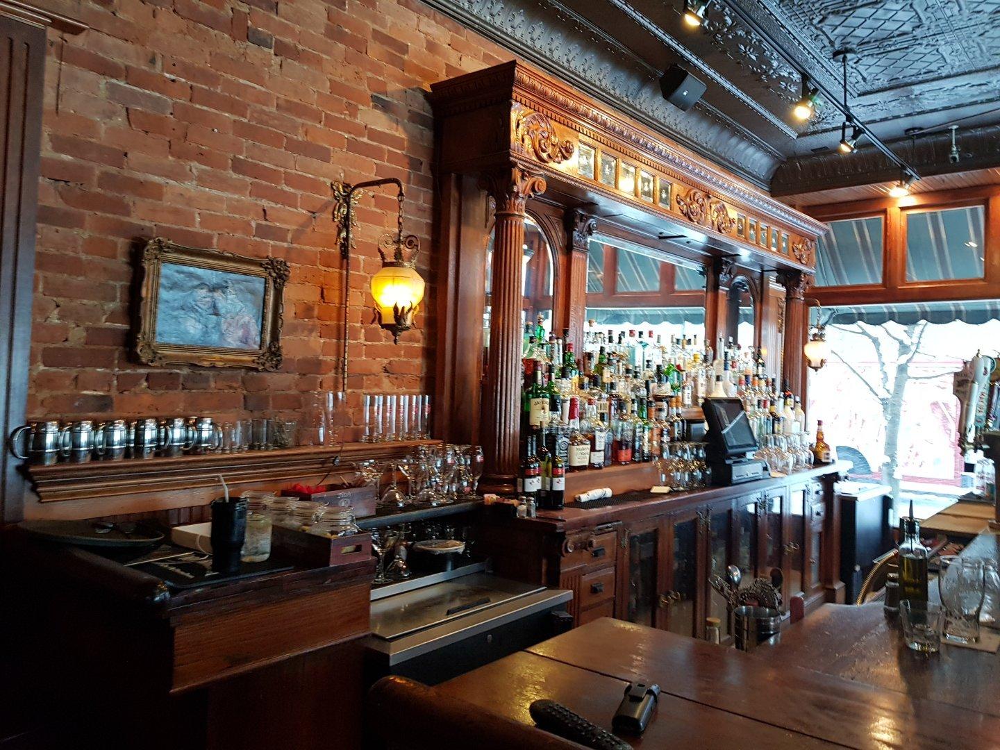
Dine and drink
Eat and drink your way through town.
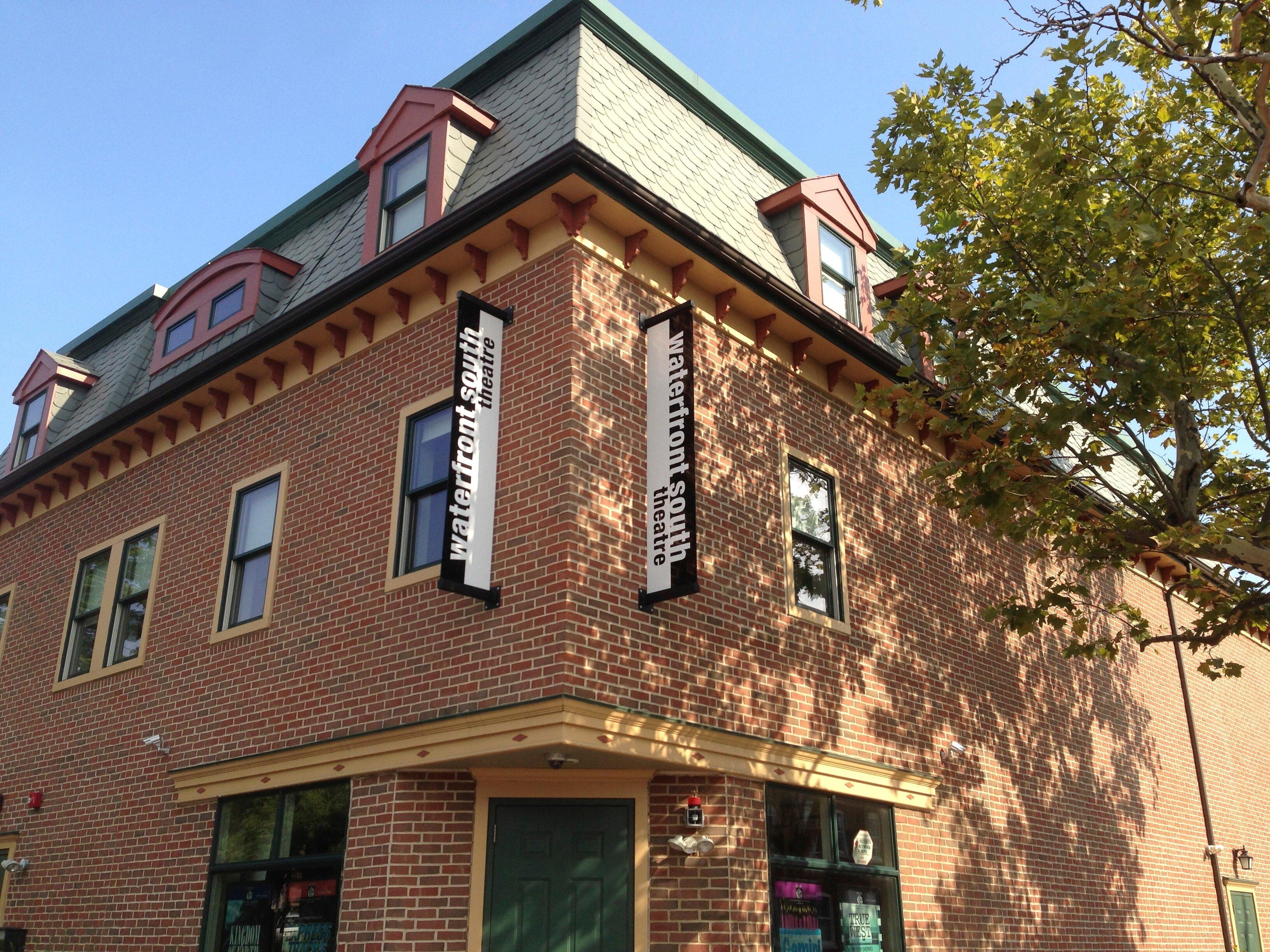
Can't-miss activities
Culture, natural beauty, and plain old fun.
Places to stay
Hang your (vacation) hat in a place that’s just your style.
Advertisement


