Cynthiana, KY
Advertisement
Cynthiana, KY Map
Cynthiana is a US city in Harrison County in the state of Kentucky. Located at the longitude and latitude of -84.296900, 38.388300 and situated at an elevation of 224 meters. In the 2020 United States Census, Cynthiana, KY had a population of 6,333 people. Cynthiana is in the Eastern Standard Time timezone at Coordinated Universal Time (UTC) -5. Find directions to Cynthiana, KY, browse local businesses, landmarks, get current traffic estimates, road conditions, and more.
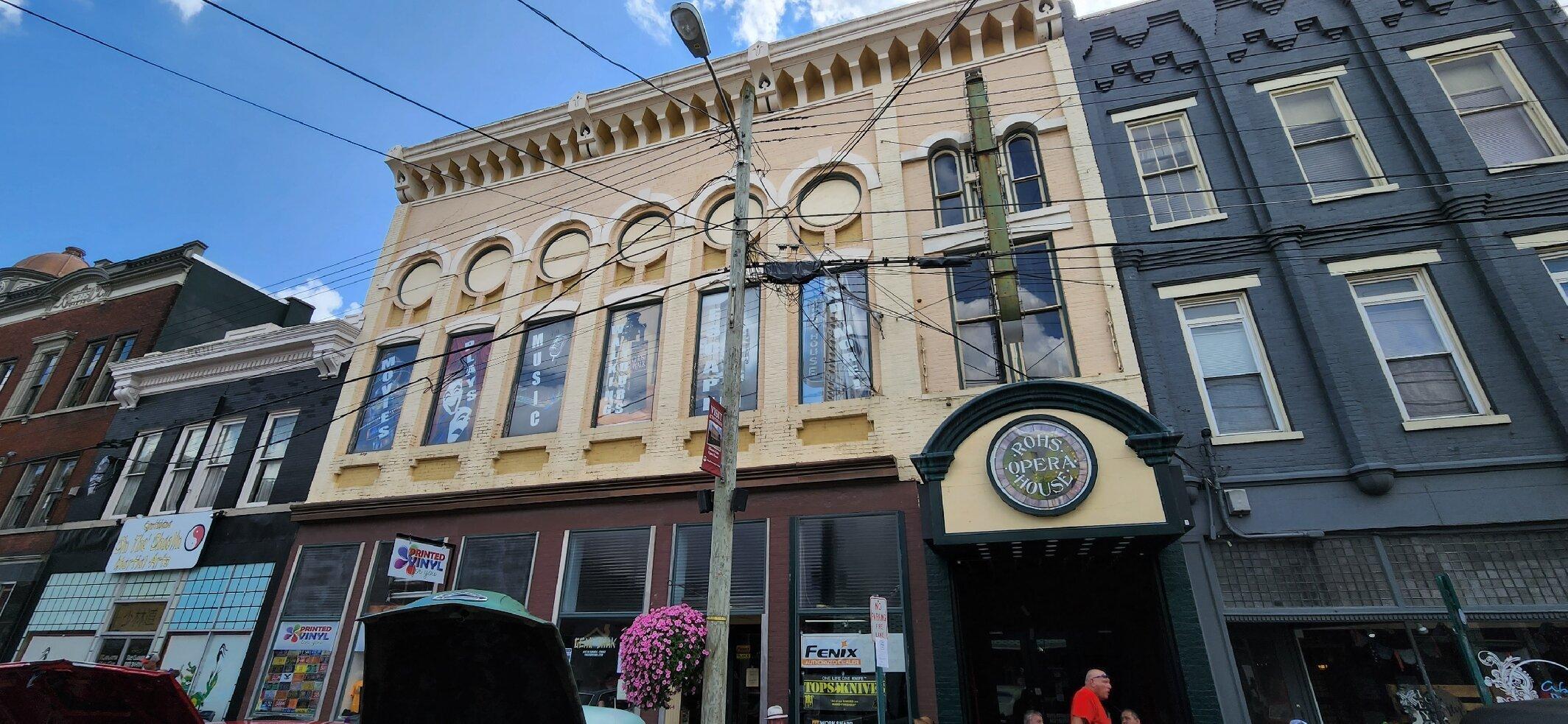
Cynthiana, Kentucky is a city steeped in rich history and small-town charm. Known for its picturesque landscapes and historic architecture, Cynthiana offers a glimpse into the past while maintaining a vibrant community spirit. The city is particularly noted for its historic downtown area, where visitors can explore a variety of local shops, eateries, and the renowned Rohs Opera House, a landmark that dates back to 1871 and is reputed to be haunted, adding a touch of mystery to its cultural offerings. Those interested in history will appreciate a visit to the Cynthiana Battlefields, where significant Civil War skirmishes took place.
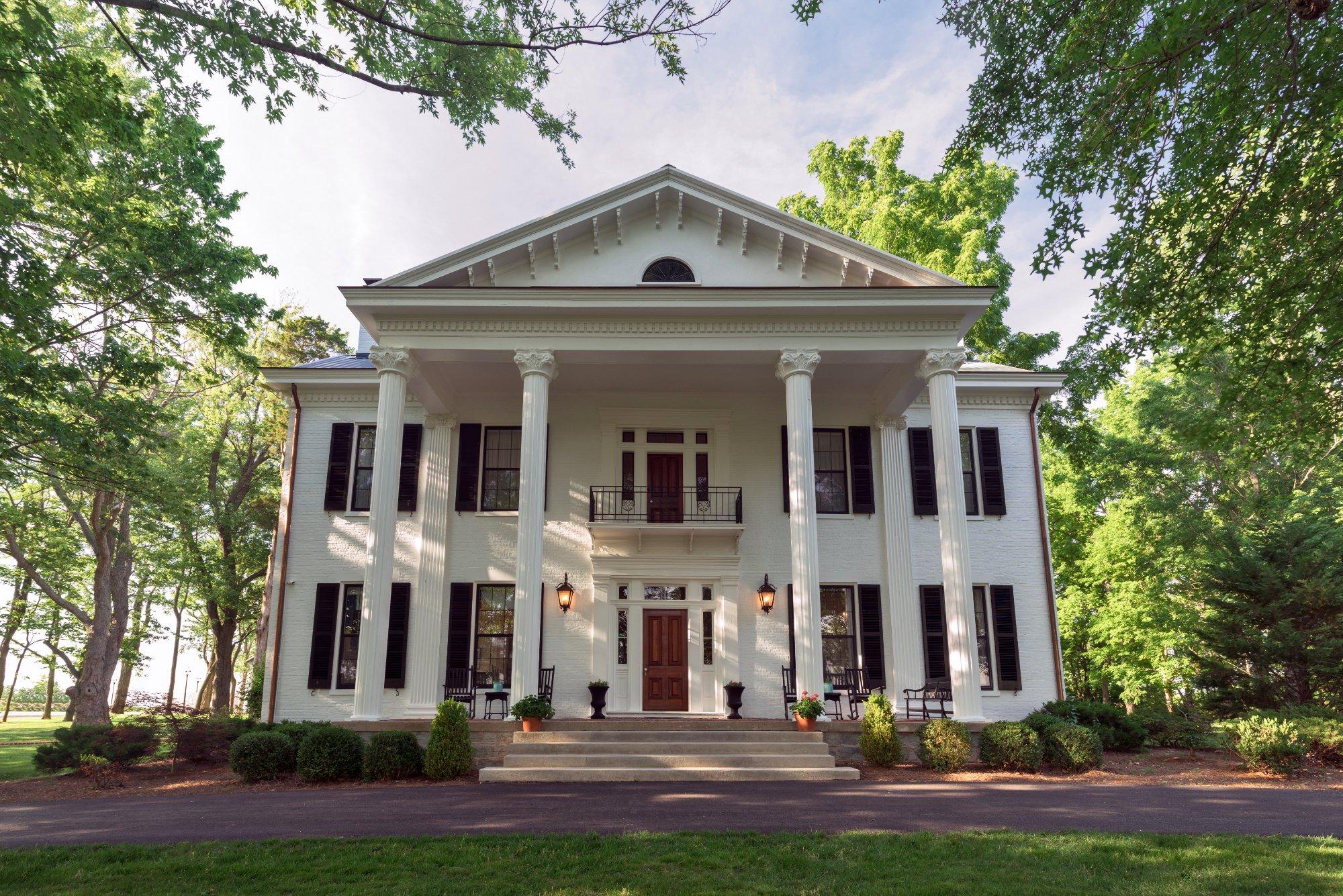
Another notable attraction is the Handy House, also known as Ridgeway, which is an exquisite example of Greek Revival architecture and is listed on the National Register of Historic Places. For outdoor enthusiasts, the Licking River offers opportunities for kayaking and fishing, providing a serene escape into nature. Cynthiana is also recognized for its role in the bourbon industry, contributing to Kentucky's famed bourbon trail. Overall, Cynthiana merges historical intrigue with natural beauty, making it an appealing destination for those looking to explore the heart of Kentucky.
Nearby cities include: Millersburg, KY, Berry, KY, Paris, KY, Sadieville, KY, Carlisle, KY, Corinth, KY, Mount Olivet, KY, Georgetown, KY, North Middletown, KY, Falmouth, KY.
Places in Cynthiana
Dine and drink
Eat and drink your way through town.
Can't-miss activities
Culture, natural beauty, and plain old fun.
Places to stay
Hang your (vacation) hat in a place that’s just your style.
Advertisement


