Hawkeye, IA
Advertisement
Hawkeye, IA Map
Hawkeye is a US city in Fayette County in the state of Iowa. Located at the longitude and latitude of -91.951111, 42.938056 and situated at an elevation of 356 meters. In the 2020 United States Census, Hawkeye, IA had a population of 438 people. Hawkeye is in the Central Standard Time timezone at Coordinated Universal Time (UTC) -6. Find directions to Hawkeye, IA, browse local businesses, landmarks, get current traffic estimates, road conditions, and more.
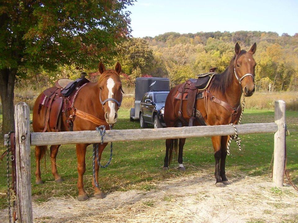
Hawkeye, Iowa, is a small city known for its serene rural charm and strong agricultural roots. The city offers a glimpse into the quintessential Midwestern lifestyle, where community and tradition play a central role. Visitors to Hawkeye can explore the local parks that provide a peaceful setting for outdoor activities such as hiking and picnicking. The city's historical background is reflected in its well-preserved architecture and local events that celebrate its heritage, offering a unique perspective on the development of small-town America.
One of the popular spots in Hawkeye is the community center, which often hosts local gatherings, fairs, and seasonal events that bring residents and visitors together. These events showcase local crafts, foods, and farming practices, offering a rich experience of the area's culture. The city’s landscape, dotted with farms and open fields, provides a picturesque backdrop for those interested in photography or simply enjoying a leisurely drive through the countryside. Hawkeye is a testament to the enduring spirit of rural American towns, where hospitality and a slower pace of life are always in vogue.
Nearby cities include: Windsor, IA, Bethel, IA, Randalia, IA, Banks, IA, West Union, IA, Auburn, IA, Union, IA, Waucoma, IA, Westfield, IA, Sumner, IA.
Places in Hawkeye
Dine and drink
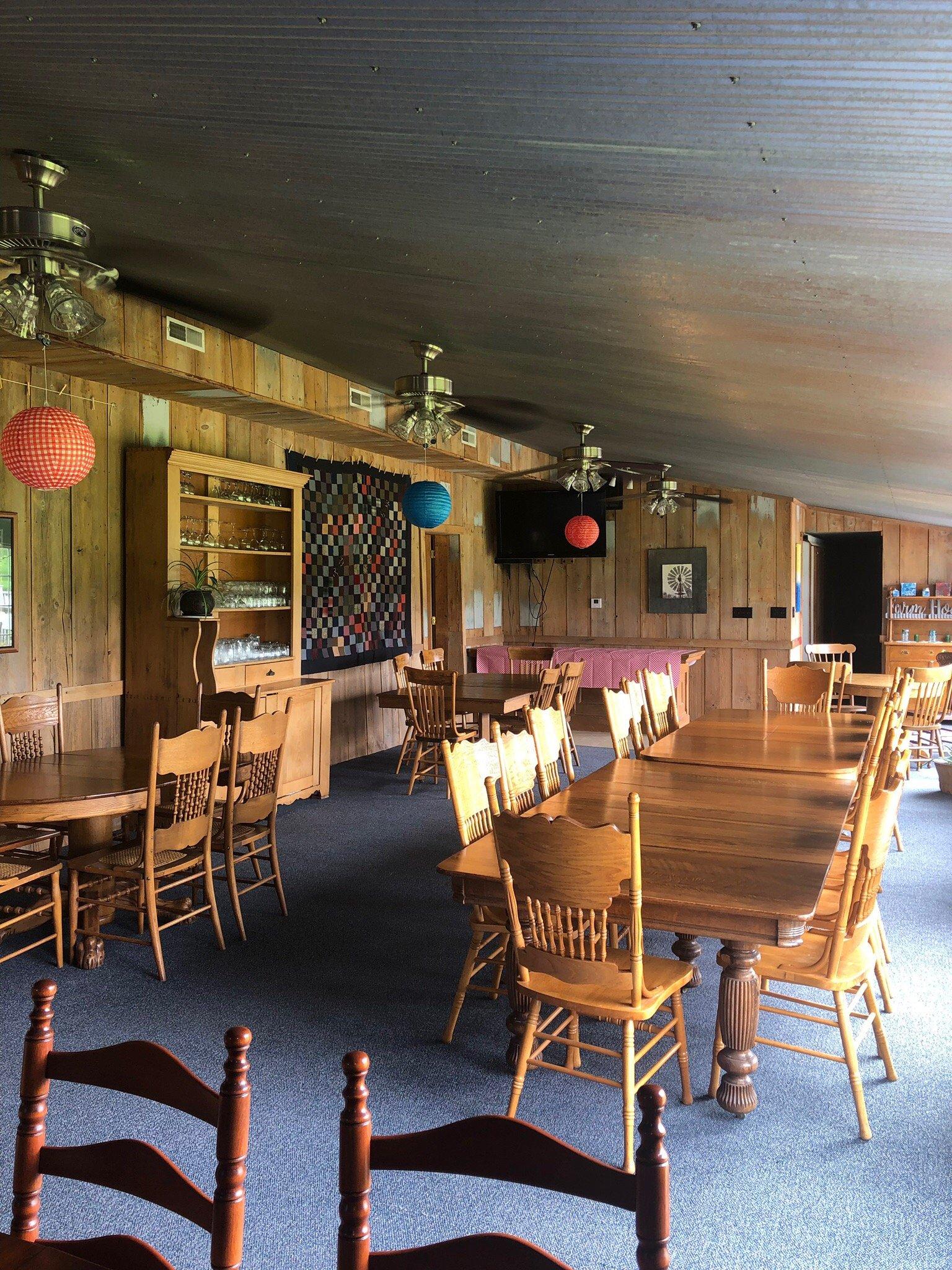
Eat and drink your way through town.
Can't-miss activities
Culture, natural beauty, and plain old fun.
Places to stay
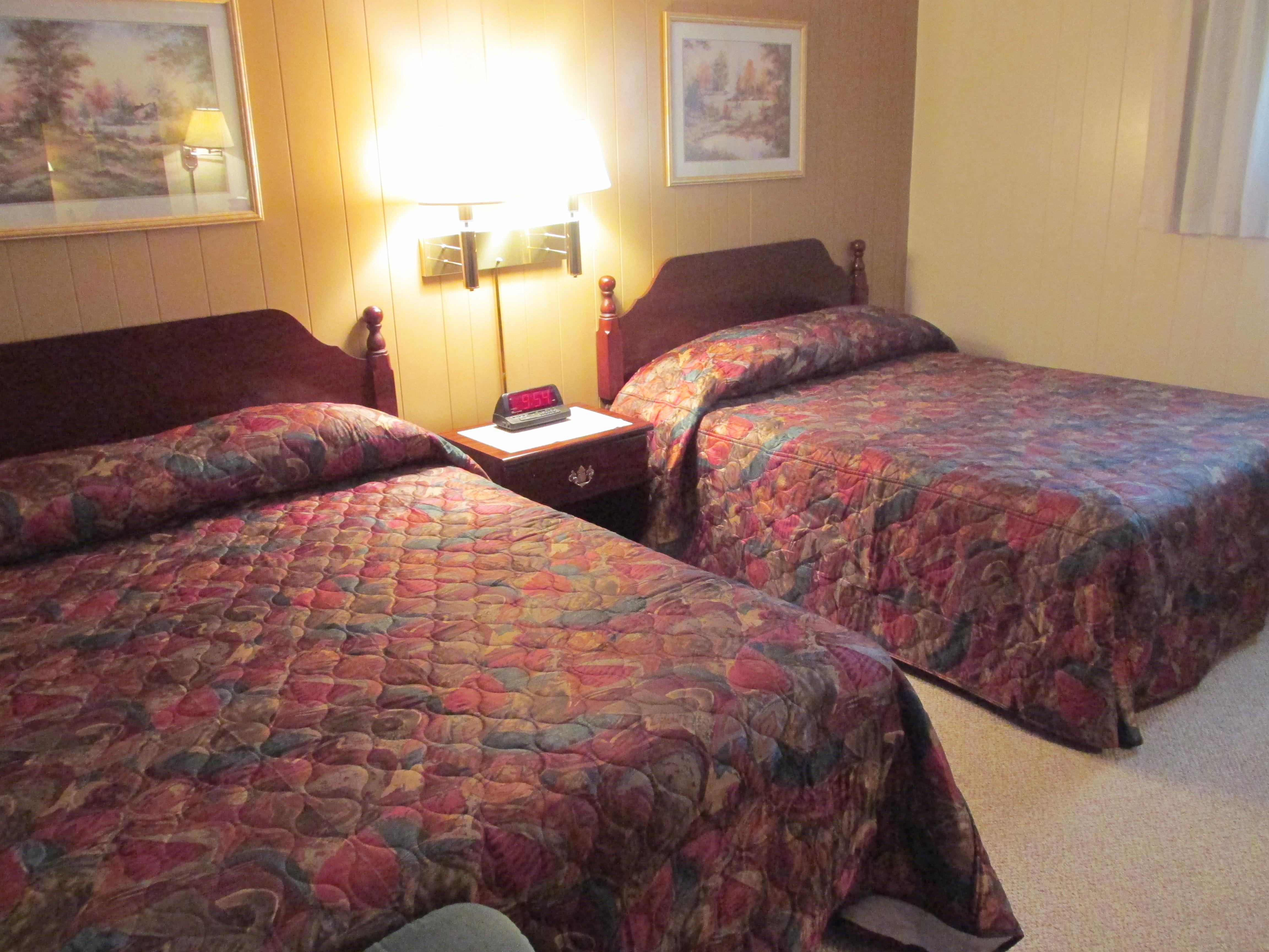
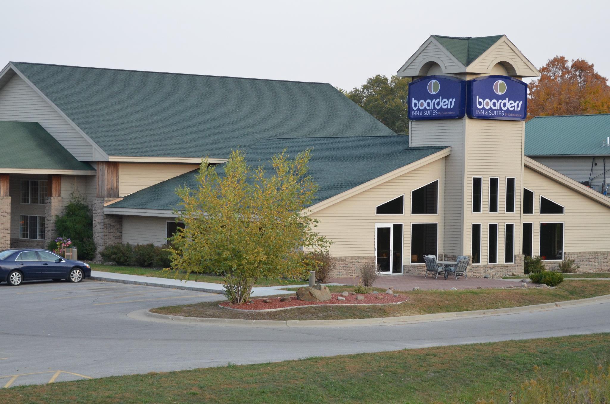
Hang your (vacation) hat in a place that’s just your style.
Advertisement


